US Geological Survey Seeks AI Enhancements for Earthquake Monitoring

What's Happening?
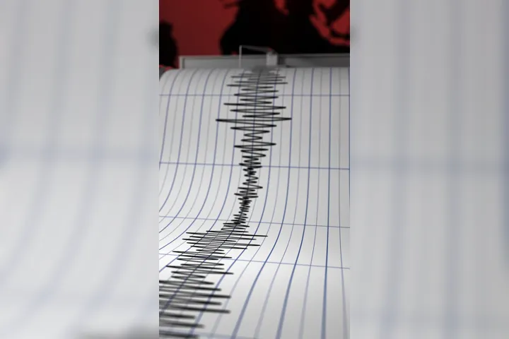
The U.S. Geological Survey (USGS) is conducting market research to acquire advanced software that leverages artificial intelligence (AI) and machine learning (ML) to enhance its seismic activity monitoring capabilities. The National Earthquake Information Center (NEIC) currently uses a combination of AI-driven and traditional algorithms to process seismic data in near-real time, which aids in the creation of earthquake information products. The USGS aims to refresh its AI and ML tools to incorporate more real-time functionality, as stated in a recent sources sought notice. The initiative is driven by rapid advancements in AI/ML technologies, prompting the USGS to explore new software solutions. The request for information outlines five key areas for software development: real-time seismic data streaming and detection, algorithm modernization, AI/ML integration, system monitoring and archiving, and support for scientific research.
Why It's Important?
This initiative by the USGS is significant as it aims to improve the accuracy and timeliness of earthquake monitoring, which is crucial for public safety and disaster preparedness. Enhanced AI and ML capabilities could lead to more precise predictions and faster dissemination of information, potentially saving lives and reducing economic losses in earthquake-prone areas. The integration of cutting-edge technology in seismic monitoring reflects a broader trend of utilizing AI to address complex scientific challenges. This move could also set a precedent for other government agencies to adopt similar technologies, thereby advancing the overall capability of public sector operations.
What's Next?
Responses to the USGS's request for information are due by July 24, indicating that the agency is moving swiftly to identify potential software solutions. Following the evaluation of responses, the USGS may proceed with a formal procurement process to acquire the necessary technology. Stakeholders, including technology firms specializing in AI and ML, are likely to show interest in this opportunity. The successful implementation of enhanced AI tools could lead to further collaborations between the USGS and tech companies, fostering innovation in the field of seismic monitoring.
AI Generated Content
For the benefit of users - Parts of this article may include content generated using AI tools. Our teams are making active and commercially reasonable efforts to moderate all AI generated content. Our moderation processes are improving however our processes are carried out on a best-effort basis and may not be exhaustive in nature. We encourage our users to consume the content judiciously and rely on their own research for accuracy of facts. We maintain that all AI generated content on our platform is for entertainment purposes only. To know more about how we use AI, you can write to us at
Close AI Generated Content