Severe Weather Threatens North Texas with Tornado Watch in Effect

What's Happening?
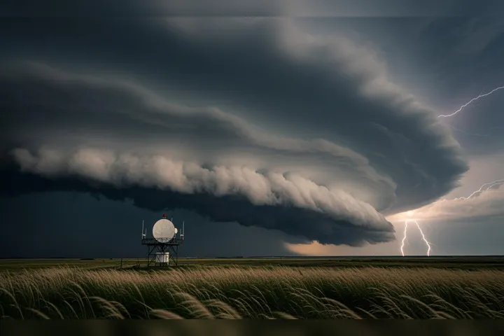
North Texas is currently facing a severe weather threat, with conditions expected to persist through the afternoon and evening. The region, including the Metroplex, is under a tornado watch until 11 p.m. Risks include large hail, damaging winds, and heavy rainfall. Thunderstorms are developing near Wichita Falls, moving northward. Residents are advised to remain vigilant and stay informed as the weather situation evolves.
Why It's Important?
Severe weather events pose significant risks to life and property, necessitating prompt and effective responses from emergency services and the public. The potential for tornadoes and other severe weather conditions can lead to disruptions in daily life, including power outages, property damage, and transportation issues. Preparedness and timely communication are essential to minimize the impact on affected communities and ensure public safety.
What's Next?
As the weather system progresses, local authorities and meteorologists will continue to monitor conditions and provide updates. Residents are encouraged to have emergency plans in place and to heed warnings from officials. The aftermath of the storm may require coordinated recovery efforts, including damage assessments and assistance for those affected by the severe weather.
AI Generated Content
For the benefit of users - Parts of this article may include content generated using AI tools. Our teams are making active and commercially reasonable efforts to moderate all AI generated content. Our moderation processes are improving however our processes are carried out on a best-effort basis and may not be exhaustive in nature. We encourage our users to consume the content judiciously and rely on their own research for accuracy of facts. We maintain that all AI generated content on our platform is for entertainment purposes only. To know more about how we use AI, you can write to us at
Close AI Generated Content