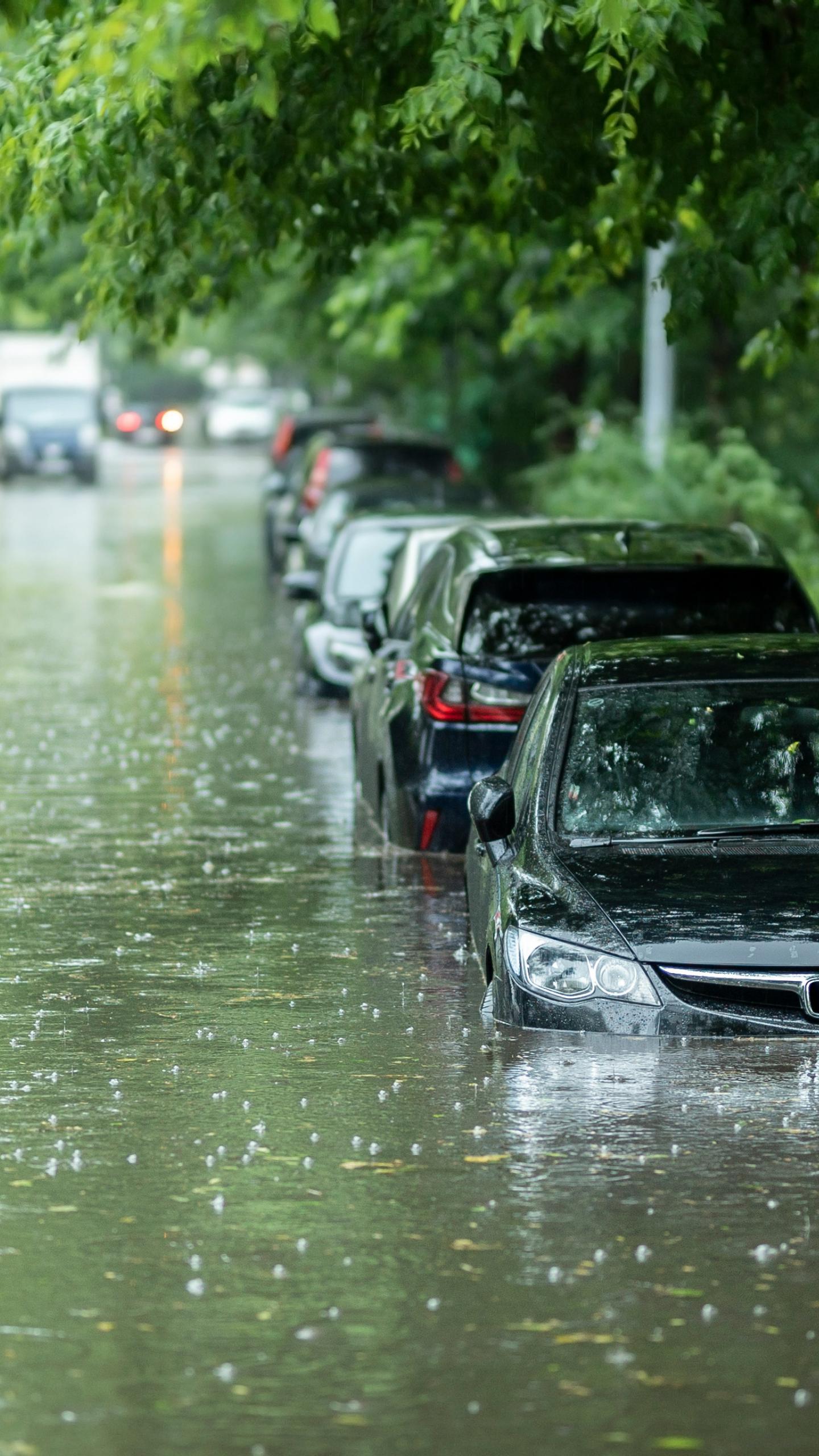
Midwest Faces Elevated Flash Flood Threat as Stalled Front Brings Heavy Rainfall

What's Happening?
The Midwest region, including areas from eastern Iowa to northern Illinois, northern Indiana, and western Ohio, is under an elevated threat of flash flooding due to persistent heavy rainfall. A frontal
boundary has stalled across the central U.S., leading to multiple days of rain and storms. This weather pattern is influenced by a heat dome positioned in the Southeast, which causes approaching fronts to slow down and release significant precipitation over the same areas in the Midwest. Cities such as Milwaukee, Chicago, Indianapolis, and Columbus are particularly vulnerable to local flash flooding. These areas have already experienced flooding rain in the preceding week, and the saturated ground increases the likelihood of further flooding with additional rainfall.
Why It's Important?
The ongoing flood threat poses significant risks to infrastructure, public safety, and local economies across the affected Midwest states. Flash flooding can lead to road closures, property damage, and disruptions to daily life and commerce. For residents, this means potential displacement, financial losses from property damage, and increased safety hazards. Businesses may face operational interruptions, supply chain delays, and damage to inventory. The repeated flooding in already saturated areas exacerbates these issues, making recovery more challenging and costly. Emergency services will be strained, and local governments may incur substantial expenses for flood response, relief efforts, and subsequent repairs to public infrastructure. The agricultural sector in these regions could also face crop damage, impacting local food supplies and farmer livelihoods.
What's Next?
The heavy rain threat is expected to persist through Monday morning, affecting northern Illinois, northern Indiana, western Ohio, and potentially spreading into parts of the Northeast. Residents in these areas are advised to remain vigilant and monitor local weather advisories for flash flood warnings. Emergency management agencies will likely continue to issue warnings and prepare for potential rescue operations and flood relief efforts. The saturated ground means that even moderate rainfall could trigger new flooding. Authorities will focus on managing water levels, clearing drainage systems, and providing resources to affected communities. The long-term implications will involve assessing damage, initiating recovery plans, and potentially implementing new flood mitigation strategies to prepare for future weather events.
Beyond the Headlines
The recurring nature of heavy rainfall and flooding in the Midwest highlights broader climate patterns and the vulnerability of urban and rural infrastructure to extreme weather events. The influence of the heat dome in the Southeast on the stalled frontal boundary underscores the interconnectedness of regional weather systems. This situation prompts deeper discussions about urban planning, particularly in rapidly developing areas, and the need for resilient infrastructure designed to withstand increased precipitation. It also brings to light the economic disparities in flood preparedness and recovery, as lower-income communities often bear a disproportionate burden of flood damage. The event could accelerate conversations around climate adaptation strategies, investment in green infrastructure, and improved early warning systems to protect communities from the escalating impacts of climate change.