Could Hurricane Isaias impact New York? What forecasters say as storm strengthens

Hurricane Isaias, the first hurricane of the 2026 Atlantic season, is expected to strengthen further before reaching the Gulf Coast this weekend. While the storm's most significant impacts are forecast
for the Gulf Coast and Southeast, forecasters are also watching whether its remnants could eventually bring rain and gusty winds to parts of the Northeast, including New York.
Here's what to know about the latest forecast and what it could mean for the Empire State.
Hurricane Isaias strengthens in the Gulf
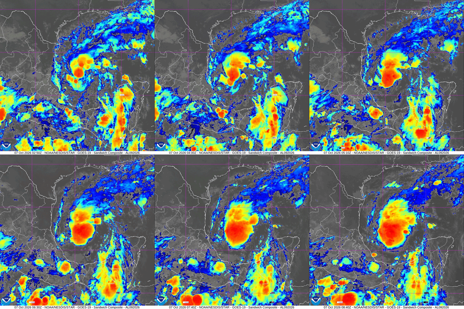
Hurricane Isaias intensified overnight and became the first hurricane of the 2026 Atlantic season.
As of Thursday morning, the Category 1 hurricane was moving east-northeast across the Gulf of Mexico with maximum sustained winds of 75 mph, according to the National Hurricane Center.
Forecasters expect additional strengthening through Friday. The hurricane center said Isaias is forecast to remain a strong hurricane as it approaches the northern Gulf Coast before making landfall late Friday or early Saturday.
The storm is expected to turn northeast and then north as it nears the coast, although its exact track and intensity could still change in the coming days.
Hurricane warnings issued
Hurricane warnings are in effect for portions of the northern Gulf Coast, while storm surge warnings cover parts of the coastline from Louisiana to Florida.
The National Hurricane Center warned that Isaias could bring life-threatening storm surge, damaging winds and heavy rainfall to areas near where it comes ashore. Additional strengthening remains possible before landfall.
Officials in potentially affected areas are urging residents to closely monitor forecasts and be prepared for changing conditions.
Could Isaias impact New York?
It's too early to know exactly how much impact Isaias could have on New York.
After making landfall, the storm is expected to weaken as it moves inland across the Southeast. However, forecasters say its remnants could eventually track northward, bringing periods of rain and gusty winds to portions of the Northeast.
The extent of any impacts in New York will depend on the storm's eventual track, how quickly it weakens and how much tropical moisture survives as the system moves inland.
New York forecast outlook
National Weather Service forecasts continue to show chances for showers across much of New York on Sunday and Monday.
Cities including Albany, Binghamton, Buffalo, New York City, Poughkeepsie, Rochester, Syracuse, Utica and White Plains all have at least a chance of rain in the forecast during that period.
Forecasters have not yet determined whether any of that precipitation will be directly tied to the remnants of Isaias.
New Yorkers should continue monitoring forecasts through the weekend as the hurricane moves toward the Gulf Coast and then inland across the South.
Here's the National Weather Service forecast for Sunday, Oct. 11, and Monday, Oct. 12:
Albany: Sunday, chance of showers, high near 69; Monday, chance of showers, cloudy, high near 67. Binghamton: Sunday, chance of showers, high near 68; Monday, chance of showers, cloudy, high near 66. Buffalo: Sunday, chance of showers, high near 72; Monday, chance of showers, partly sunny, high near 68. New York City: Sunday, chance of showers, high near 70; Monday, showers likely, high near 70. Poughkeepsie: Sunday, chance of showers, high near 71; Monday, chance of showers, cloudy, high near 71. Rochester: Sunday, chance of showers, high near 73; Monday, chance of showers, partly sunny, high near 68. Syracuse: Sunday, chance of showers, high near 73; Monday, chance of showers, cloudy, high near 69. Utica: Sunday, showers likely, high near 71; Monday, chance of showers, cloudy, high near 69. Watertown: Sunday, mostly sunny, high near 70; Monday, chance of showers, partly sunny, high near 65. White Plains: Sunday, chance of showers, high near 70; Monday, showers, high near 70. What are spaghetti models?
.oembed-frame { width: 100%; height: 100%; margin: 0; border: 0; }
Spaghetti models display multiple forecast tracks generated by different weather models, offering a look at the range of possible paths a tropical system could take.
Meteorologists use numerous forecast models when producing the official forecast. Because Isaias is still over the Gulf of Mexico and continues to strengthen, its future track and impacts could change in the coming days.
Contributing: USA TODAY Network